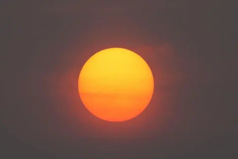


Atmospheric visibility is a direct measurement of how much light is scattered or absorbed by particles in the air. Fine particles (PM2.5) are particularly efficient at light scattering at visible wavelengths, so visibility is a strong proxy for ambient PM2.5. The EPA's regional haze program and the underlying IMPROVE network use visibility measurements as a primary PM indicator.
The quantitative relationship between visibility and PM2.5 was established by Malm et al. and is now standard. Roughly: 30 km or more of visibility corresponds to PM2.5 below 5 µg/m³ (clean); 10 to 30 km corresponds to 5 to 20 µg/m³ (moderate haze); below 10 km usually means PM2.5 above 35 µg/m³ (regulatory unhealthy threshold). Humidity affects the relationship (water vapor scatters light too), so the conversion is more accurate in dry conditions.
For Terrestream users, outdoor visibility from Open-Meteo provides a useful cross-check on outdoor PM forecasts. When visibility drops sharply, expect PM2.5 to be elevated even if the PM forecast hasn't been updated. When visibility is reported as low while PM is reported as normal, the discrepancy usually means humidity (fog) is the cause rather than aerosol, but it can also indicate a fast-moving event the forecast hasn't caught.
Historically, visibility was the public's primary air-quality indicator long before instruments measured PM directly. Photographs of Beijing or Mexico City from any decade are visibility records. The dashboard surfaces visibility as a peer parameter to outdoor PM2.5: when they agree, confidence is high; when they disagree, the interpretation layer flags it.
References
- EPA - Regional haze and visibility program www.epa.gov
- Malm et al. - Spatial and seasonal trends in visibility agupubs.onlinelibrary.wiley.com
- Open-Meteo - Forecast API documentation open-meteo.com
- NOAA NWS - Visibility and fog www.weather.gov