Hey there, fellow farmers! You ever get tired of lugging around heavy equipment and playing a guessing game on what parts of your field need the most attention? You know, that endless game of “Is this patch too dry?” or “Did that section get enough fertilizer?” Well, let me tell you, the future is here, and it’s buzzing — literally. We’re talking about drones paired with soil imaging sensors, making farm monitoring as easy as a flyover.
Now, I know what some of you might be thinking: “Drones? Aren’t those just fancy toys my kid uses to chase the chickens around the yard?” Well, it turns out that those buzzing machines are far more than just toys. They’re powerful allies that can help you get a bird’s-eye view of your farm and make sure every inch is productive. So, let’s dig in and see how drone technology and soil imaging sensors are changing the game for us in precision agriculture.
From the Tractor Seat to the Sky
Picture this: It’s late July, and you’ve been running around trying to figure out if your field has enough moisture or if there’s some hidden issue lurking below the surface. Normally, you’d walk through row after row, hoping you notice anything that’s off. But with a drone, all you have to do is launch it into the air, and bam — you’ve got a full-color map of your entire field in a matter of minutes. No need to climb back into the old pickup to go and look at a section you forgot.
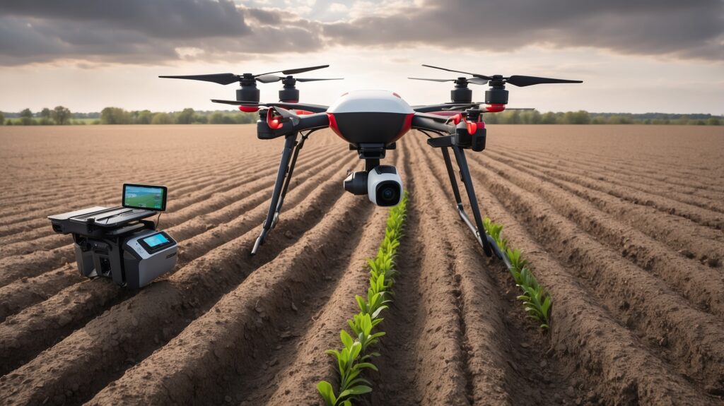
Soil imaging sensors on these drones use specialized cameras to capture data like soil moisture, nutrient levels, and crop health. They’re like having eyes that can see into your soil and tell you exactly what’s happening — kind of like your own field superhero with X-ray vision. Instead of guessing if a patch is struggling because it’s underwatered or overwatered, the soil imaging sensors can give you the lowdown, complete with pretty colors that even your neighbor would envy.
Drones as the Eyes in the Sky
So, what’s all the fuss about drones, anyway? Well, drones equipped with multispectral cameras can cover acres and acres of your farm in the time it takes to make a cup of coffee. They’re fast, precise, and most importantly, they don’t get tired like you or me after walking endless rows in the summer heat. They capture images in multiple wavelengths — including visible and infrared — to help pinpoint issues that might not be obvious to the naked eye.
Imagine looking at your field and seeing which parts are thriving in lush greens and which parts are stressed and giving off more of a sad, yellow hue. You can identify problems like nutrient deficiencies or pest issues long before they turn into major headaches that take a bite out of your yield. You know how it goes — an ounce of prevention is worth a pound of cure, and with these drones, you’ve got your ounce right up in the sky.
And get this: drones don’t just look for problems. They help us solve them too! Imagine dropping precise amounts of fertilizer or pesticide exactly where it’s needed. Forget wasting money by blanketing the whole field — just target the spots that need it. It’s like having a sniper instead of a shotgun approach, except the sniper is your friendly neighborhood drone.
Real-Time Insights for Real-World Decisions
Now, one of the coolest things about drone technology and soil imaging sensors is how quickly they can give you real-time insights. We’re talking about taking actionable steps in hours instead of days. Got a moisture problem? You’ll know about it before it’s too late to save those crops. Found a section that’s lacking nutrients? You can fix it before those hungry plants start losing out.
Farmers like us already have enough on our plates — between equipment maintenance, feeding the livestock, and making sure you’re staying ahead of the ever-changing weather. Drones can help take one of those heavy jobs off our shoulders, making it easier to focus on what we love most — watching those fields grow tall and healthy.
And for those of us with an eye on sustainability, the ability to monitor soil health from the sky means fewer resources wasted. No more overwatering areas that are already soaked or fertilizing parts that don’t need it. Plus, when it comes to keeping those regulators happy, having detailed records of exactly what’s been done and where? It’s a breeze when everything is digitally mapped and logged.
It’s Not Just Sci-Fi — It’s Farming in 2024
Back in the day, the idea of flying a remote-controlled device over our fields to check up on our crops might’ve sounded like something out of a sci-fi movie. Today, it’s just another part of our growing toolbox. Drones aren’t replacing good old-fashioned knowledge — that’ll always be a farmer’s greatest asset — but they’re giving us better tools to use that knowledge and make decisions that are smarter, faster, and more informed.
So the next time you see one of those buzzing gadgets in the air, just remember: it might be the key to making your fields healthier, your yields bigger, and your workload a bit lighter. Plus, it’s a great way to keep the neighbor’s kids entertained for an afternoon — just be sure they don’t take it for a joyride over the pond. Let’s use drones and soil imaging sensors to keep those fields productive and, most importantly, keep us farmers on top of our game.
Here’s to high yields, healthy soil, and maybe even a little extra free time. Cheers, and happy flying!

